Again I walked with the Sutton-in-Ashfield Ramblers and again the weather was beautiful - quite a contrast to the days immediately before and after.
We started at Harpur Hill and headed round in a semi-circle through Ladmanlow to Grinlow Tower (previously Solomon's Temple) before descending into Buxton for lunch. The afternoon walk took us east through Cunning Dale, King Sterndale and Deepdale.
We began the walk in the rather grim and unsalubrious setting of Harpur Hill village, a centre for the quarrying industry, just south of Buxton. The north end of the village gave panoramic views over Buxton and (in this view) towards the north west and Ladmanlow.
We headed south west towards Diamond Hill, where we joined the trackbed of an old railway line. This swept around an industrial site in a deep cutting.
Shortly, we emerged in open countryside, with views over towards Axe Edge Moor in the west.
We swung around to the north on an old railway embankment. We then left the railway and headed north past Anthony Hill towards Ladmanlow, visible here in the distance.
Grinlow Tower was visible to the north east, on the horizon.
Axe Edge and Axe Edge Moor were visible to the west.
After reaching Ladmanlow, we entered the Grin Low & Buxton Country Park, once the site of a huge quarry.
Beyond the car park, we climbed steeply up to Grinlow Tower. This offers superb views over Buxton....
...and west towards the Cat & Fiddle.
Down from the tower, the sun was shining brightly over Buxton.
Here is the tower itself. The hilltop was swept by a very strong wind.
We descended down to Buxton via a path that comes out near Poole's Cavern.
We then passed through some really posh streets - quite a contrast to Harpur Hill, only a mile or two away to the south. This house particularly attracted my interest.
We entered the Pavilion Gardens, which was very busy.
Nearby is this Victorian pillar box.
This building was once riding stables, then a hospital. It is now part of a university.
The Palace Hotel dominates the town centre.
Here is the view looking the other way.
The sky was very busy with aircraft.
After lunch, we headed north east through the backstreets of Buxton, climbing steeply to Fairfield Common. We turned east and then south east to enter Cunning Dale.
The footpath runs straight down the middle of this narrow dale. We quickly found that this was very muddy. Eventually, we found ourselves walking through an impromptu stream of running water, several inches deep!
Just to prove it, here's a stile near the bottom of the dale...
...and the end of the footpath, a giant puddle.
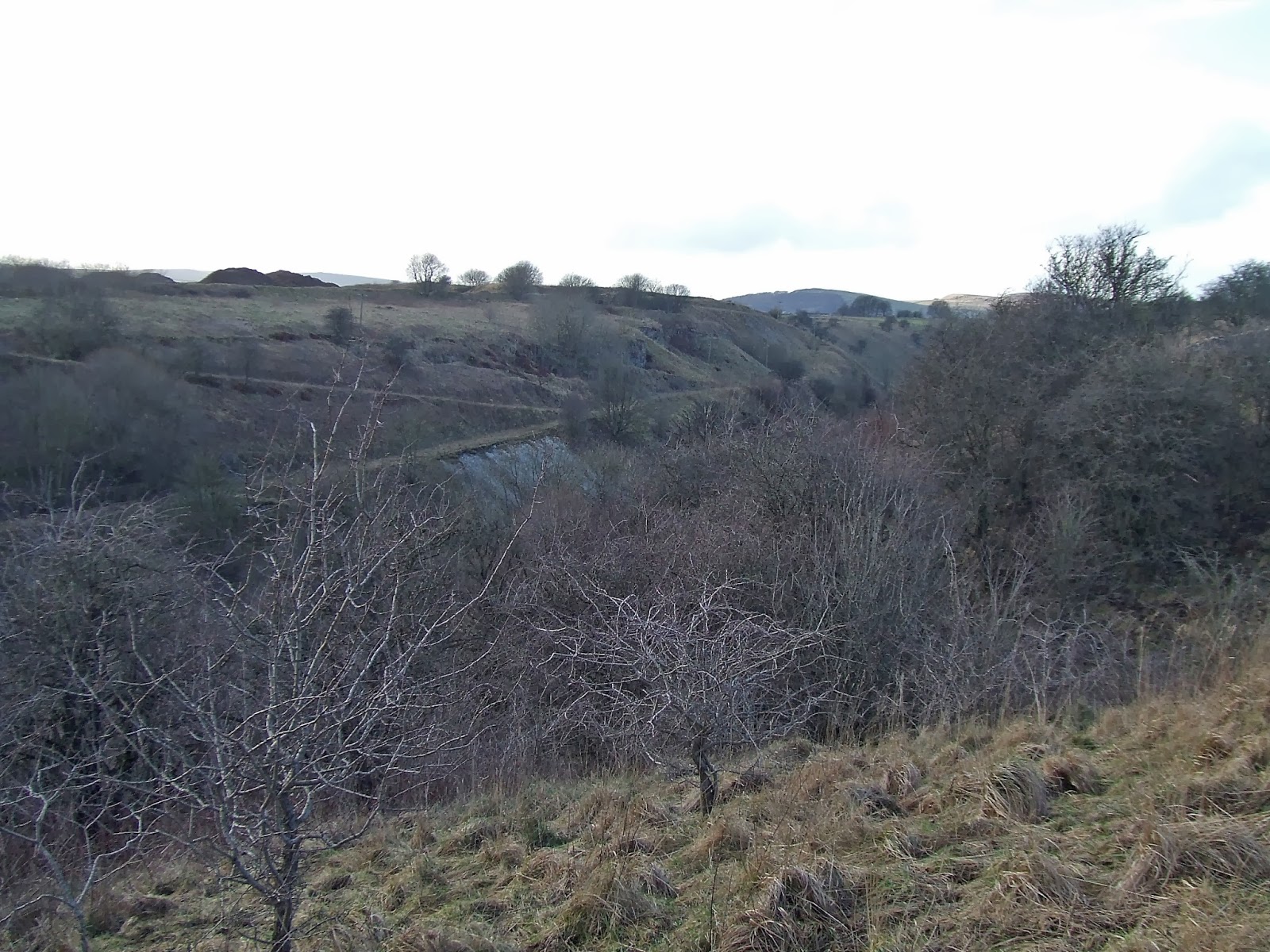
Opposite the end of the footpath was the remains of an old lime works.
Just before reaching the main road (A6) we turned sharply north up a track to the top of the hill overlooking Cunning Dale. From here, we could see more of the old workings on the hillside opposite.
We then turned east to Pictor Hall. The main Hall was hidden in trees, but these annexe buildings were very close to the footpath. Note the bell in the roof on the far left.
Looking the other way, there was a grandstand view of Wye Dale.
We dropped down to the A6 again along the access track to Pictor Hall. At the bottom of the hill was this interesting old Lodge building.
Crossing the A6, we took another steep track up the opposite hillside towards King Sterndale village. Wye Dale and the River Wye were visible below.
At the top of the climb was the tiny hamlet of King Sterndale. This is the Butter Cross.
The Hall, seen here across a field, was associated with Pickfords, the removals firm.
This is the tiny church.
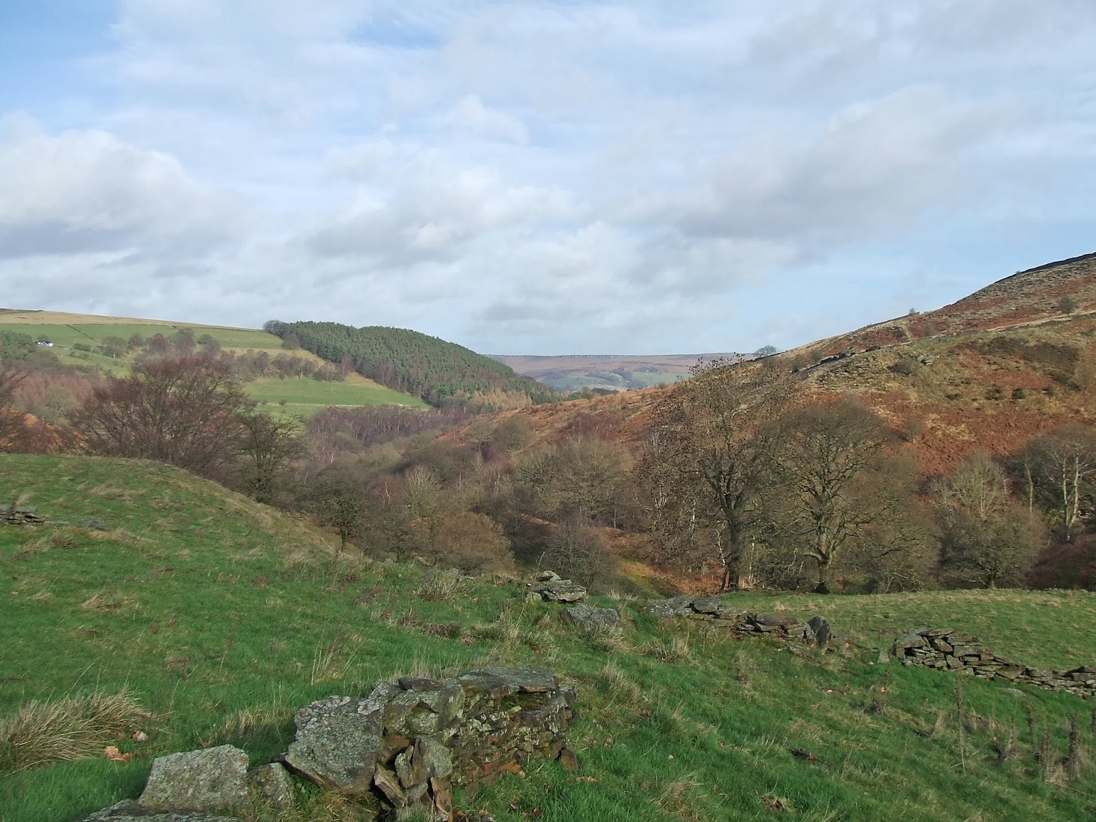
From the church, we headed sharply south east across a filed to the edge of Deep Dale. The view from the top was really spectacular - particularly the formidable cliffs towards the top of the Dale.
Near the bottom, we passed this small area of moss-covered trees.
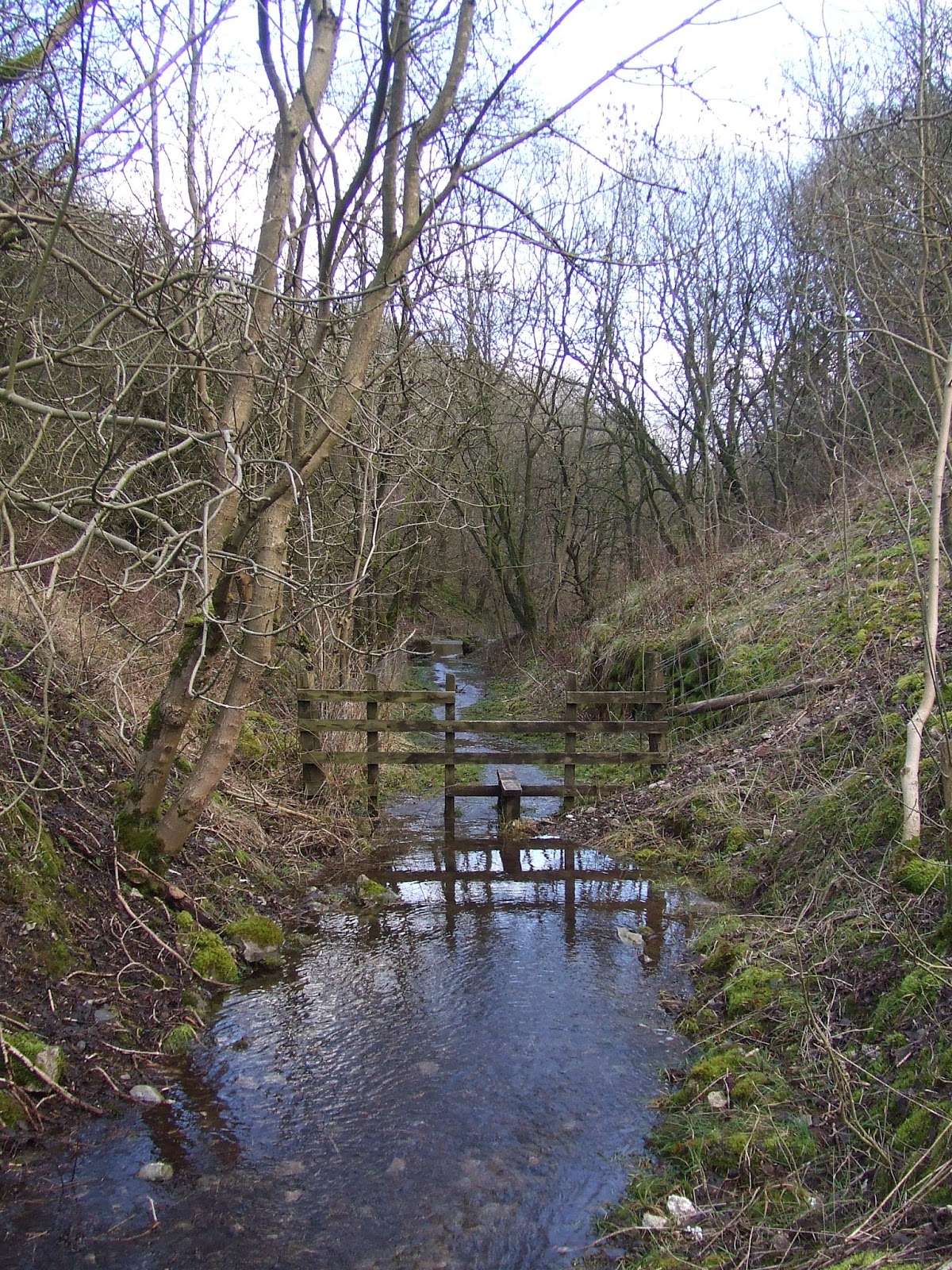
At the bottom we had to cross this angry stream, which had overflowed its normal watercourse and presented the group with a challenging obstacle to cross - particularly for those who were trying very hard not to get wet.
The Dale is very steep-sided - hence the name Deep Dale, I guess. This view is north east towards Wye Dale.
We only just got out of the dale as darkness descended. We passed the entrance to a large quarry at the bottom of the Dale, just before the A6 where our coach was waiting.
By the end, I was suffering from very wet feet, where the water from Cunning Dale and Deep Dale had got into my boots. Nevertheless, this was a really excellent walk. Thanks again the the Sutton-in-Ashfield Rambling Group for organising it.