This week I walked with the Sutton-in-Ashfield Rambling Club, covering the area just west of Ashbourne in Derbyshire. This is a relatively unexplored area between the Peak District and Cannock Chase. It was a bright, sunny, clear, mild day. As darkness descended there was a really spectacular sunset. All in all, a great day out!
We began the ramble just outside the small village of Swinscoe, a few miles north west of Ashbourne. We headed south across fields towards Stanton. At first, the terrain was deceptively flat. This is a view to the south west from near Green Farm.
Our complacency was suddenly shaken by a steep and very slippery descent down Cuckoo Cliff to the valley of the Ellis Hill Brook....
..before a steep climb across a field up the other side of the valley. This is a view looking back north.
The footpath soon joined Flather Lane, a narrow road leading to Stanton. There were various obstructions in our path, evidence of the very high winds we had on the previous Thursday.
The whole area was generally very flat, but permeated by deep valleys. It was a clear day and we could see a long way. This was the view east, looking towards the Leicestershire hills we had visited a fortnight before.
Looking the other way, we saw Cannock Chase in the distance. Even more
distant, could see far distant hills including, we think, the faint
outline of The Wrekin, near Shrewsbury - though it was too faint to show
on the photo.
The next deep valley was experienced south of Stanton, when we descended to the pretty, wooded valley of Ordley Brook.
We followed the valley north west for a short distance before crossing the stream by a dangerous looking footbridge. This was a plank in the middle of the bridge!
There followed another steep climb across a field as we headed west again, towards Middle Mayfield.
On the level again, we began to walk along the edge of the valley of the River Dove.
Here is another view of the Dove Valley, a little further west.
We then descended into a steep-sided bridleway called Hollow Lane
This opened out briefly, giving a glimpse of this remote cottage, which appeared to have no road access.
We followed the lane past the cottage, past some low cliffs and down to Middle Mayfield. We found several of these highly informative boards dotted around the various Mayfields we visited.
Middle Mayfield is largely situated on a loop off the B5032 main road from Ashbourne to Uttoxeter. Most people pass by without ever realising these delightful buildings even exist. First, we have Brook Farm, dating from around 1580.
Then, there is Mayfield Hall, which has a small ornamental garden with pond.
This is the Hall itself.
Just up the Hall Lane towards Uttoxeter was Old Hall Farm, dating from 1620.
We turned west along the B5032 main road before wandering across the fields to Church Mayfield. The chuurch can be seen in the distance as we approached the village.
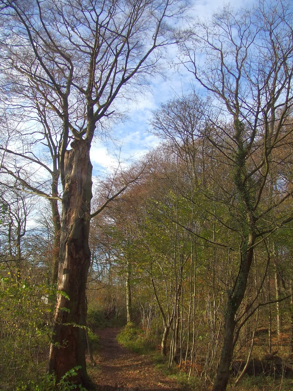
It was a day full of interesting trees - even more so now they have shed their leaves.
Beyond Church Mayfield, we turned north and headed towards Hanging Bridge. At last, we caught our first glimpse of the River Dove.
At Hanging Bridge, we joined the main road again. This old rock house looked very quaint!
Hanging Bridge was widened in the 1930s. The original arches can be seen below the wider arch to the left of this picture.
This was the view looking down stream from the bridge.
Upstream, a lonely fisherman was just casting out his line.
After lunch, we climbed again steeply out of the valley to Upper Mayfield. This was the view looking west from near the top of the hill.
We passed the old Methodist Church - now empty, by the look of things.
The centre of the village contained yet more old buildings, including Corner House, dating from the 1700s....
...and Piccadilly Cottages, probably dating from the 1600s. The lower storey was originally for livestock.
We then headed back towards the Dove Valley. This was the view looking north, from the main road to Leek.
By now it was a beautifully sunny afternoon. There was a peculiarly pink tinge to the daylight by now, which gradually intensified as we approached sunset.
We entered Oakover Park and followed the main driveway northwards towards the Hall. Some of the trees in the park were really fascinating.
This one in particuar caught my eye, with its long roots above ground. The way the light caught it was magical.
Some trees looked rather sinister, like this one....!
At Okeover Hall, we turned west, towards the sunset. The hall itself is a real mixture of architectural styles, including a church.
Another steep climb took us up towards Martin Hill. This was the view looking back through the Park, towards the east.
The sky was quite stunning, with some interesting cloud formations. This view was to the west from the top of the climb....
... and this one to the south.
At the very top of Martin Hill, we got a clear view of the end of Dovedale, in the centre of the picture, with Bunster Hill to the left and Thorpe Cloud hill to the right.
Slightly further east, Ashbourne nestled in the valley, far below us.
The sky and everything around us gradually turned pinker as the sun set. This was taken looking north at Woodhouses.
and this slightly further west, looking to the south.
But the most spectacular view was yet to come - looking south just after sunset.
We finished the walk where we started, at Swinscoe, with perfect timing - just as it got dark!
Again, many thanks to the the Sutton-in-Ashfield Rambling Club for a great ramble.