This week's long walk saw me cross the Erewash Valley into the edge of the Peak District, calling at Wingfield Manor before turning back through Alfreton and home. The walk gives some really impressive views across the countryside. It was a very clear, hot day.
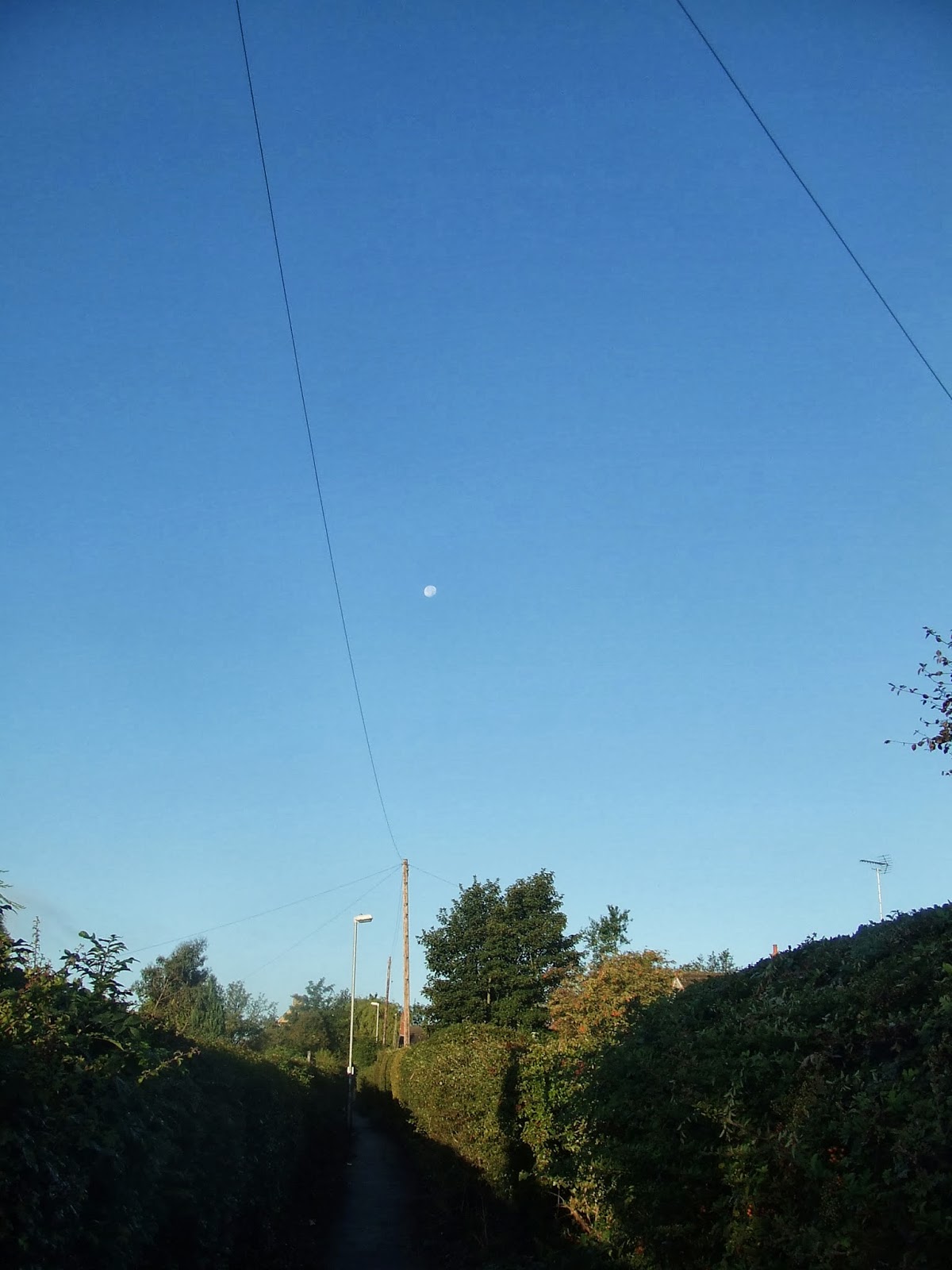
I set out around 7:30am. The moon was clearly visible to the west for some time. This view of it was taken whilst I was walking through Kirkby-in-Ashfield.
I took the road to Selston. This was the view north just before I reached the bridge over the M1 motorway. The motorway and the new Cooperative warehouse are very prominent.
The route through Selston and on to Jacksdale followed the line of an old colliery waggonway, long gone. There are signs explaining its history along the way. About halfway to Jacksdale, I took this view across the Erewash valley. The flat top of Jessop's Monument is just visible in the trees in the far distance.
The waggonway ran to a wharf on the Cromford canal at Jacksdale. This is now partly a children's playground, full of wooden monsters.
Beyond the park, the line of the Cromford canal is clearly visible here, though further on it has been filled in for some of the way. Some parts are heavily covered in weeds.
This is a view looking back towards Jacksdale.
Shortly, I turned west through woodland towards a footbridge over the railway line from Chesterfield to Nottingham and Trent Junction. Coming out of the woodland on the far side of the railway, I caught a glimpse of Codnor Castle ruins and Castle Farm in the far distance - though at this time of year they are largely obscured by trees. Much of this area was subjected to opencast mining a few years ago, so it has a very unnatural feel - like the grass in the foreground..
The castle itself was featured on Time Team a couple of years ago. There is little left of what must have been quite a landmark in earlier times.
The view back across the Erewash Valley is really beautiful. Underwood Church is just visible on the horizon, towards the right of the photo..
Here is another view of part of the castle ruins.
I then turned north along a recently-replaced track towards Ironville. Jessop's Monument was clearly visible in the trees.
I followed a lane along the back of Jessop's Monument down to Ironville. There was a fantastic panoramic view across to the west over Golden Valley.
Ironville was a planned village, built during the Industrial Revolution. At one time, it was busy with transport. Colliery railways crossed the main street. It was also the junction of the Pinxton and Cromford canals. There is a large reservoir here called Codnorpark Reservoir, built to feed the Cromford Canal.
The Cromford Canal heads west towards Ambergate and Cromford. All sections are either derelict or completely obliterated east of Ambergate. West of Ironville, the route is visible, with the more open sections filled with weed.
The shady sections still show signs of water.
About a mile west of Ironville, the canal disappears into a tunnel. It is nearly 2 miles long. This is the eastern portal. The tunnel was seriously affected by subsidence. It closed in 1900 after a serious collapse and was never reopened.
From the tunnel mouth, I made my way along the Old Coach Road past the Derbyshire Police HQ to Buttlerley. This road follows the course of the tunnel pretty closely. The tunnel passes under the famous Butterley Works - an iron foundry that supplied the arches for the London St Pancras station roof, amongst other things. It is now almost derelict or demolished. The canal tunnel was connected to the works by a vertical shaft, allowing items to be loaded and unloaded for the works..
Just beyond the works is Butterley Reservoir. This is crossed on a stone embankment by a preserved railway line.
This is the terminus of the line, at Hammersmith, looking sadly neglected.
The canal reappears just to the west of the A38, though the original tunnel mouth has long disappeared.
I turned northwest towards Pentrich, which soon came into view.
The church is reached up some steep stone steps.
I carried straight on along a farm lane to the north. This offered fine views west and north west towards Crich and South Wingfield.
Wingfield Manor, my next destination, is just visible amongst the trees in the centre of the photograph, here.
I climbed the path up to the main building of Wingfield Manor. This only has very restricted openings to the public. Decent photos from the outside are difficult to get when the whole area around the outside is covered in trees and shrubs. Here is the main gatehouse.
and another view, further round to the north. This shows the buildings between the south and north courtyards.
This is the great hall and other buildings in the main range at the north end of the site..
and a final view showing the western end of the main range.
The site gives a commanding view to the north.
I walked on through South Wingfield village. This is the church.
This is the sadly-neglected railway station building. It dates back to the very early days of public railways in this country. It was designed by Francis Thompson and built in 1840.
I headed east towards Alfreton church. This is the panoramic view west over Oakerthorpe, along the way.
and here is Alfreton Parish Church.
Beyond Alfreton, I turned briefy north along a footpath to the east of the railway line, towards Westhouses. This brought me to a fairly new path following the line of the old mineral railway east from Westhouses to Blackwell Colliery and beyond. The site was a pit tip until land reclamation took place in the last year or two.
This path took me much of the way home.