Wednesday 27 November 2013

W/C 23rd November 2013 - Teversal and Hardwick Hall (again!)

The weather was so good mid-week that I just had to do another walk! A quick decision led me to revisit Teversal and Hardwick Hall for the second time in 2 weeks - but this time the route was slightly different. It was about 15 miles long. I only took a few photos, as many would have been repeats of those I took on the earlier walk.

I repeated my recent route along the Skegby Trail and the Link Track to the Teversal Visitor Centre, then headed north along the Teversal Trail towards Pleasley. At Peartree Lane, I climbed the steps away from the Teversal Trail and headed towards Norwood. The remains of Pleasley Colliery were just visible on the horizon, to the north east.
 Norwood is a tiny group of houses on the eastern approach lane to Hardwick Hall.
 Beyond the houses, the lane turns into a footpath through trees, including steep steps. The trees in general were quite a contrast to a week or more before - many had lost their leaves altogether, whilst most of the other leaves had turned dark brown.
 This part of the path, through the grounds of Hardwick Hall, is called Lady Spencer's Walk. This view was taken close to the visitor centre.
 The public footpath eventually turns left and down a steep incline around the southern flank of the buildings at Hardwick.
 Climbing again past the Hall, I took a similar view to one I took on my last visit - a clearer day, but the trees are far less colourful. This view is looking north west towards Chesterfield.
 I then followed the driveway north to the north gate of the park and round onto the Rowthorne Trail. Where this joins the Teversal trail, I turned north towards Pleasley for a short distance, before turning east and south onto the Skegby Trail. I just got home before darkness fell. The sky was alight!


W/C 23rd November 2013 - Nanpantan, Woodhouse Eaves and Cropston

I joined the Sutton-in-Ashfield Rambling Club this week. We travelled down to Leicestershire this time, exploring the countryside between Loughborough and Leicester. The highlights were the impressive viewpoints at Beacon Hill, just south of Loughborough and Old John Tower in Bradgate Park. The area is very different in character to the Peak District, but very worthwhile exploring, nevertheless!

We began the walk at Nanpantan - a peculiar name derived from 'Nan's Pantain', apparently. Pantain is an Anglo-Saxon word for 'enclosure'. We began by walking south east in the general direction of Woodhouse Eaves. We soon caught a glimpse of our first target, Beacon Hill, to the south.
 We began climbing towards Buck Hill. This gave a good view of Loughborough in the distance, behind us.
 Looking north, we could clearly see Ratcliffe on Soar Power Station.
 Shortly, we entered Out Woods.
 Beyond the woods, we headed south towards Beacon Hill, once a volcano. This was our view of the hill from the north. The summit is 248 metres above sea level.
 On top, the view to the north was very impressive. You can just make out the power station again in the distance. Derby was in sunshine in the middle left of this view.
 This beacon stands on the southern slope of the hill, just below the summit.
 We then headed east towards Woodhouse Eaves. This is a view of the village from a distance.
 We called in at the Curzon Arms in the village for our lunch break. Several buildings in the village had this unusual stonework.
 After lunch, we headed south towards Bradgate Country Park. Shortly after leaving Woodhouse Eaves, we passed this farm on our right, close to Maplewell Hall.
 Before long, Old John Tower became visible to the south, at the northern end of Bradgate Country Park. The column on the right is a memorial.
 We climbed the hill to enjoy an almost 360 degree panorama from the top. This view is looking north - more or less looking back along our route so far....
 ..and a view north east towards Swithland Wood.
 Old John Tower is a folly. It was built in 1784 by the 5th Earl of Stamford on the site of an old windmill.
 The view to the south includes Leicester, seen here in the far distance. Bradgate Country Park is a deer park, with deer roaming free over much of the area. Several groups were visible - though most were down to the east of the ruins of Bradgate House. A white stag was hiding in the undergrowth - ringed in red on the photo.
 Here is part of our group admiring the view of Leicester, from a safe distance.
 We headed south east down the hill towards Bradgate House. The tower gradually receded into the distance.
 Finally, we got closer to Bradgate House, birthplace and early home of Lady Jane Grey - 9 days Queen of England. This is a ruin, having been abandoned since 1719. It was once a grand Tudor brick building, built in a similar style to Hampton Court.
 This is a closer view of the western side of the complex.
 Located on the south side, the chapel is the only building still intact.
 We continued south for a short distance, looking back at the ruins for the last time.
 We then turned east, around the south side of Cropston Reservoir before reaching Cropston village, just as it got dark. Here is a view over the reservoir, looking back towards Old John Tower and the memorial nearby.


This area has a character all of its own. The combination of grand viewpoints and Tudor ruins made it a fascinating day out. My thanks again to the Sutton-in-Ashfield Rambling Club for a great walk!

Sunday 17 November 2013

W/C 16th November 2013 - Teversal and Hardwick Hall

Only a short, 20 mile walk this week! I pulled a muscle during my previous walk, so was being a little more cautious than usual. My route took me along old railway lines, converted to footpaths, for much of the way. I walked through Skegby to Teversal, then on to Hardwick Hall. From there, I walked east to Hardstoft and the southern end of the Five Pits Trail, returning home via Huthwaite.

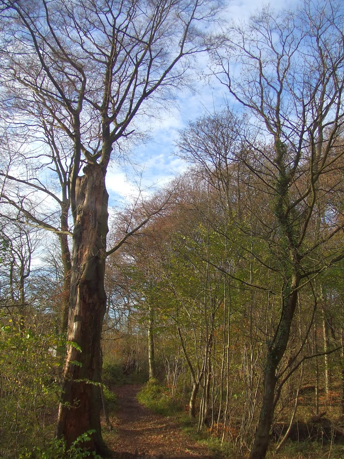
I walked along the Skegby Trail from Sutton to Skegby. This has a length with fairly deep sheer-faced cuttings. In the summer, the undergrowth largely hides the rock faces. Now the leaves are falling, it is becoming exposed again.

My route passed the old Skegby Manor House, dating from the 14th Century.

I then joined the Teversal Trail, passing the former site of Skegby railway station. The overbridge is one of the few remaining signs that there was ever a railway here.
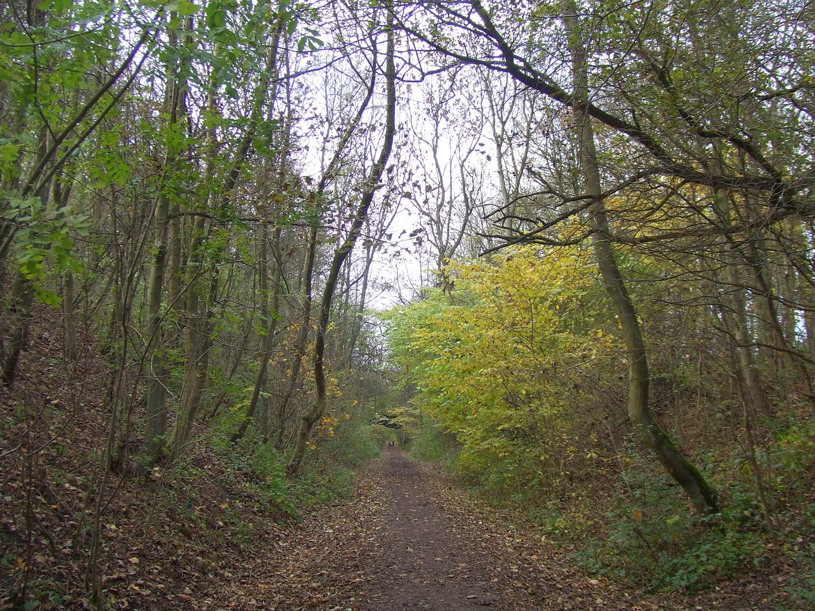
I then turned left onto the Link Trail towards Teversal village. This is a combination of embankments and shallow cuttings.
At Teversal, I called in briefly at the Visitor Centre for refreshments before turning north towards Pleasley. As the trail approaches Pleasley, there is a steep embankment offering views across towards the north east. The Rowthorne Trail can just be seen in the distance, amongst the far trees.
Looking further to the south east towards Hardwick Hall from the same viewpoint.
The Rowthorne Trail leads towards Hardwick Hall. This is mainly on a tree-lined embankment.
This is the view looking back towards the Teversal Trail, just visible on the horizon.
There are brief glimpses of the grounds of Hardwick Hall as you proceed along the Rowthorne Trail.
At the end of the trail, I turned left and then left again along the approach road to Hardwick Hall. Here is the gate and gatehouse. This entrance is not open to road vehicles any more.
Health and safety is not a new idea, judging by this old-looking sign!
Within the park, the leaves were definitely changing colour.
Here is a view looking west.
I approached Hardwick Hall itself. This is a view of the imposing "new" hall from the north west.
..and another view of the park, looking north west towards Chesterfield.
This is the frontage of the hall.
The "old" hall building survives as an empty shell nearby.
I then followed the road round towards the Hardwick Inn.  This road falls steeply into the valley below the hall. Here is a view looking back up the hill to the hall buildings.
...and a view of the Hardwick Inn.
Beyond the inn, I followed the road up to Hardstoft village, which can be seen n the far right of this shot.
Beyond the village, I turned right at the Shoulder of Mutton Inn, then left towards Pilsley. In Pilsley, I turned left onto the Five Pits Trail, which I had followed the week before. Here is a view west towards Crich Stand from the Five Pits trail near Tibshelf.
I followed the trail to its end before turning left onto the Teversal trail towards Huthwaite.