The walk began at the Robin Hood pub on the A619 between Chesterfield and Baslow. We headed east briefly before turning north and ascending onto Birchen Edge. It was very windy! Along the Edge there were long views to the west. This view is in the general direction of Baslow, with Calver Peak in the distance on the right.
Further along Birchen Edge, the edge becomes more pronounced. This view is looking back to the south along the path we had traversed.Birchen Edge was very popular with climbers, all concentrated in one short stretch of Birchen Edge. Nelson's Monument is visible in the distance.
The monument itself sits rather precariously on the edge of the precipice.
Beyond the monument, to the north, there were no climbers at all.
From the 310 metre triangulation point at the north end of Birchen Edge, there is a fine view along the top of Curbar Edge and on to the north west.
We descended towards the A621 over boggy ground. This view looks north towards Ramsley Moor.
Looking back to the south west, Gardom's Edge was visible on the left, below Birchen Edge. We crossed the main road and headed up the right hand side of the valley to Wellington's Monument.
At one point, there were clear views north and south from Baslow Edge. This view is south toward Baslow....
...and north towards Curbar.
This view shows the southern end of Curbar Edge.
We descended a short way towards Curbar alongside a road, before diving into fields for the walk south to Baslow. The first lambs of the season were very evident along here.
Arriving in Baslow, we had a break before proceeding through Chatsworth Park. Baslow is a real tourist centre, with plenty to see and do in the vicinity.
Here are some thatched cottages by the River Derwent...
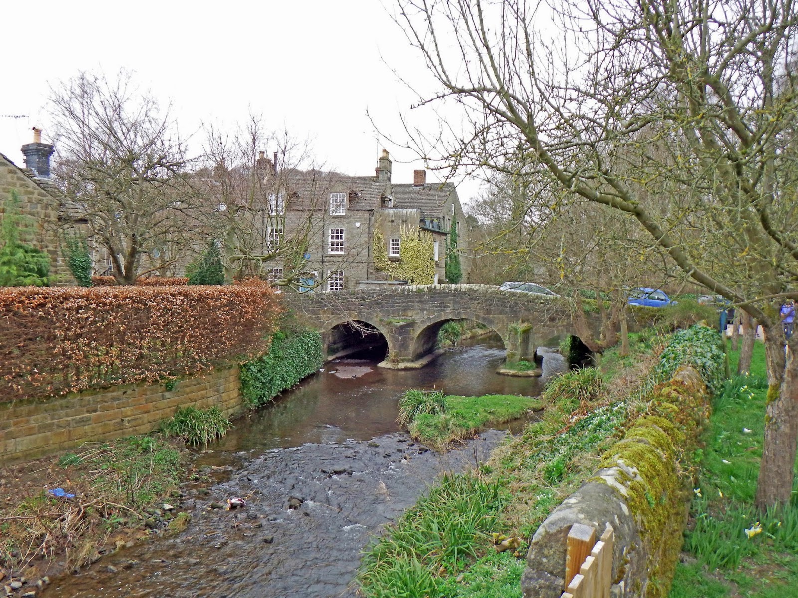
...and the pretty bridge over the river on the path to Chatsworth.
We walked through the grounds more or less all the way to Chatsworth House, seen here in the distance..
We then crossed the bridge and headed east to the beautiful, but contrived village of Edensor.
This is a view from the bridge, south along the Derwent.
Over the hill was Edensor - and some sunshine!
The church in Edensor is quite imposing.
We walked most of the way through the village before climbing steep steps onto a footpath leading south towards Calton. This view is looking south down the Derwent Valley.
Looking back, Edensor church steeple and Chatsworth House were clearly visible as we climbed steeply up the hillside.
Eventually, the high ground we had traversed earlier in the walk came clearly into view, to the north.
Chatsworth House was glowing in the sunshine, with the dark mass of Gibbet Moor and Beeley Moor behind.
Beyond the crest of the hill, we turned east and headed back down to the Derwent, passing Calton Lees on the way. We crossed the Derwent for the last time and headed straight up the hillside onto the moors above. Part of this track has been used a lot by 4x4 vehicles, judging by the tyre marks. Here was one such vehicle ascending the steep hill.
To the south, the Derwent Valley was just about visible in the distance....
...and again from slightly higher up the hill. This view was taken directly into the sun. I was pleasantly surprised to get such a good result.
At the top of the climb, we were back onto moorland again.
We headed north east towards Hob Hurst's House, then north towards Robin Hood. This view shows the stark contrast between the moors to the south of the main road and the green fields to the north.
Near the main road, the footpath turns abruptly west, close to the A619.
We finished the walk back at the Robin Hood pub on the A619.
It was a shame the weather had not been as good as the previous day when I walked south from home towards Nottingham. What this walk lacked in good weather it more than made up for in scenery. I survived the two long walks in two days quite well. A few blisters and aching legs, but nothing too serious!
Many thanks again to the Sutton-in-Ashfield Rambling Group for a super walk.


No comments:
Post a Comment