A walk I have planned for several months is along the Grantham Canal -
or at least the towpath, since I make no claim to be able to walk on
water. The canal once ran from the River Trent at Nottingham, eastwards
to the town of Grantham. The last part was closed in the 1930s. It was last used for transferring Nottingham sewage to farms in the Vale of
Belvoir. Much is now badly decayed or impassable, but a short section is
navigable at the Grantham end and other small sections have been
restored to some degree.
The canal walk is about
33 miles, plus a mile or so at either end to get to or from the nearest
railway station. Add a mile each way from home to my local station and
the overall walk was around 37 miles. I decided I had to do it now or
leave it until next year, as I expected to reach the Nottingham end from
Grantham just as it was getting dark.
The canal has its own society and web site HERE
I caught the train to Grantham, via Nottingham. Here is the train in Grantham station, about to reverse and head off for Skegness.
The canal is accessed by heading south west along the A607 Harlaxton Road, from the bridge just north of the station. You turn right into Earlsfield Lane, across the stream and slightly up the hill beyond. The canal starts immediately to the right of the road. The start is pretty grim, but it does get much better! Originally the canal carried on to a basin slightly nearer the town. The warehouses were demolished and the basin filled in during the 1930s, so there is nothing left to see there.
The canal passes through modern housing. At least it begins to look like a canal though. I saw the first of many swans here.
There are mileposts every quarter of a mile along the canal bank. These gave me a good idea of how fast I was walking. In general, I seemed to be doing exactly 4mph - though I stopped a lot to inspect the canal features and other things near the canal, which made my overall speed slower.
For a short section near the A1, you have to leave the canal and walk along the A607 road. The A1 marks the boundary between the urban area and the countryside. Beyond here, the canal banks are heavily wooded. Eventually, you reach Harlaxton Wharf. The canal society run trips along part of the canal from here.
Every so often you pass a semicircular turning point in the canal, where barges could be reversed. This one contained the Mudlark, a dredger.
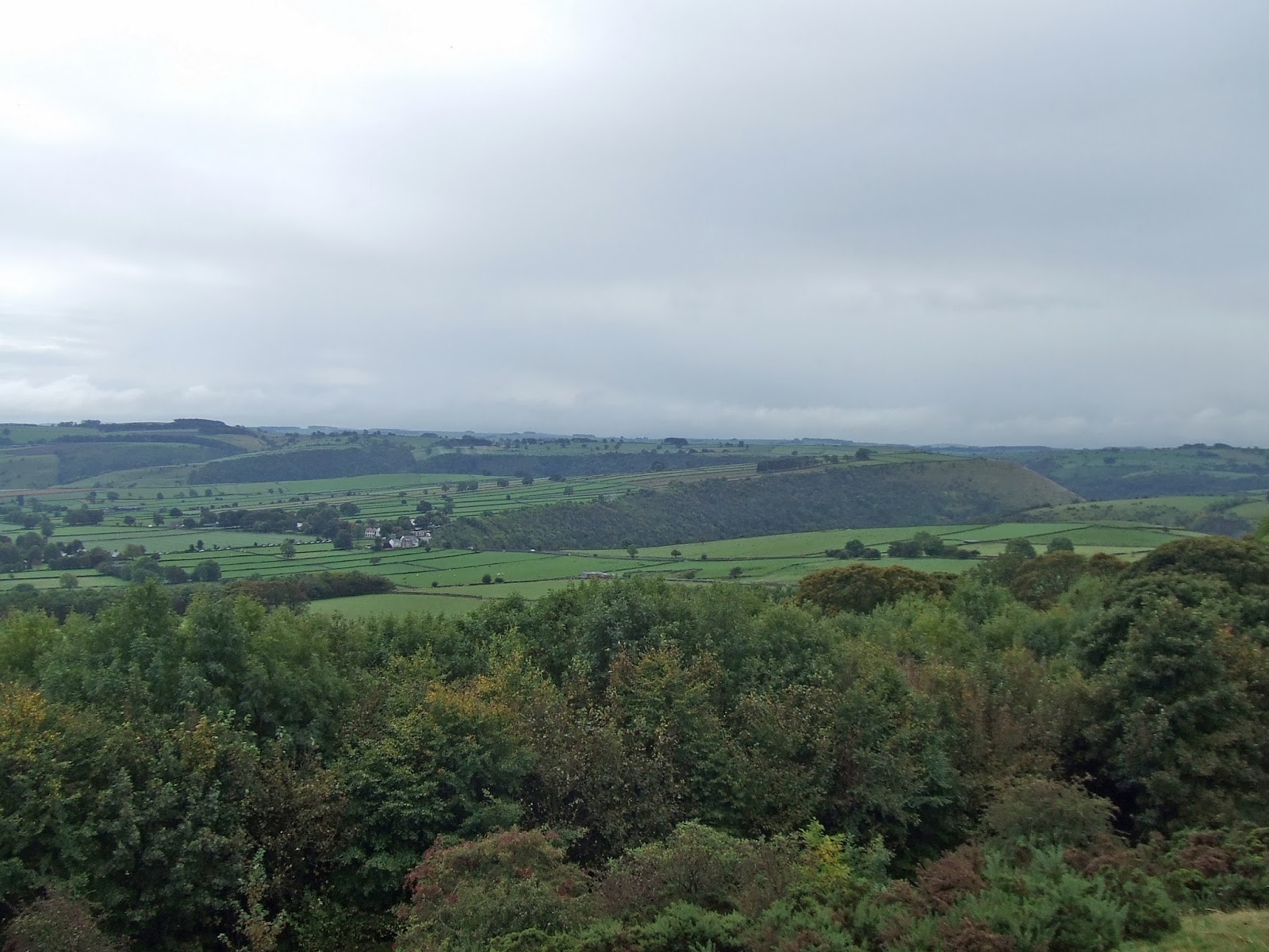
Soon the trees thinned out, giving better views of the surrounding countryside.
The Lincolnshire Edge finally disappears to leave the canal running along a relatively flat plain all the way to Nottingham. This is the view of the Edge, looking north from the canal.
Just a little further on, two further barges were moored. The furthest from the camera is the one used for canal trips.
The first locks are reached at Woolsthorpe, which has a flight of 3 locks. Here is the middle lock, with the adjacent lock-keeper's cottage.
The Rutland Arms pub is situated here - also known as the "Dirty Duck".
This is a view of the middle lock from the bridge. This lock is well restored.
The first view of Belvoir Castle can be see from here. I walked a short way along the lane towards the castle to get this view in the early morning sunlight.
Beyond Woolsthorpe wharf, the canal is no longer navigable. The lower lock is in disrepair. This was the view looking west from the bridge. This was also the start of the first grassy part of the towpath. Up to here, the path had been very good.
The canal now had a very neglected air, far from civilisation and very quiet. I might as well have been the only person on earth!
Belvoir Castle was often visible on the ridge to the south - more as a dark shadow as I moved further west.
Beyond Muston, most of the the traditional bridges were flattened in the name of progress. What is left of the canal runs through pipes under the roads.
Much of the canal was covered in green slime. The ducks still managed to swim through it though!
This part of the canal was very quiet, with few other people around. The swans around here were very possessive of their little bits of canal bank, hissing at me as I passed. This was a large family basking in the sun near Bottesford.
......... and another family looking as if they were about to dive in.
Just before Redmile, another family was out for a swim.By now, the canal had turned south west.
Redmile is the first village passed through en route. All the others had been avoided as the canal tried to cling to the contours as it meandered towards Nottingham. here is a contrast of old and new - Redmile church and a brand new house next to the canal.
Looking to the north the landscape was very flat.
There were a few commemorative plaques along the way - this one for a Lancaster bomber crew. All but one lost their lives when it crashed here during WW2.
It was still very flat to the north!
The first industrial canal building I passed was the old canal warehouse at Harby.
Many of the roads and bridges had signs like this describing the location. This one is the halfway point of the canal.
Beyond here, several relatively modern swing bridges have been installed, like this one.
Clark's Bridge is an occupation bridge accessing farmland. It is not quite in original state, but as close as you can get to what the over bridges originally looked like.
Hickling has a large canal basin, now a distinctive leisure feature in the village.
Beyond Hickling, the canal quickly disappears under trees, weeds and shrubs. The canal bed is on the left in this photo!
On the approaches to Cropwell Bishop, another old warehouse came into view. This was a centre for the gypsum industry. The towpath changes from the north to the south side beyond the main road.
The villages of Cropwell Bishop and Cropwell Butler are passed at some distance before the canal arrives at the Fosse Way - now the A46. Here is the remains of a swing bridge immediately east of the main road.
There were locks here too - now sadly neglected. At least the newly-upgraded main road has been built with future navigation in mind though.
The flat countryside continued to the north, as the canal continued to hug the low hills to the south. The soil had become much redder.
The canal runs north of Cotgrave village, close to the site of the old Cotgrave Colliery. This has now been landscaped. A couple of the locks here have been restored.
The canal now looks a lot more like a navigable waterway again. It was noticeably wider for a long stretch beyond Cotgrave, towards Gamston.
At the A52, this came abruptly to a halt though. There was not even a safe crossing of the busy road for pedestrians.
Beyond the A52, the canal passes by Morrison's supermarket and through a modern residential area. The canal has been partially restored and used as a "feature".
Beyond Gamston, the canal passes under the main road into Nottingham. One side of the dual carriageway is passed under by the towpath. For the newer carriageway, you have to walk across the road. The canal then swings away from the man road for a short distance, before passing through the back gardens of an older residential area.
Eventually, you reach Nottingham Forest's football ground and the end of the canal at the River Trent. Unfortunately, it was a bit too gloomy by then to take pictures of anything. I did get this shot from Trent Bridge though, in the twilight.
I then walked to Nottingham station to catch a train home.
On reflection, I really wish I had walked this in the summer. This would have allowed me to take time to see more of the items of interest en-route. I will probably try and do it again next year when the daylight hours are much longer- perhaps from west to east for a change.